A month long trip from Reno, NV to North Bend, WA led to a handful of lovely photos and a change of heart.
In the fall of 2025, I decided I needed a grand adventure. Something epic, long, difficult, and cleansing for my aching heart. Trips were made and subsequently cancelled before I landed on a safe, yet adventurous, 1,100-mile solo bike packing adventure from Reno, NV back home to Washington. Over the course of 4 states, several flat tires, one broken lens, and a broken camera, I accomplished what I had set out to do -find peace and adventure. Over the course of 3 parts, and through a handful of images, I’ll take you with me on this trip detailing the good, the bad, the lovely, and everything in between while I was living on a bike for a month.
The norcal Outback
on May 6th 2026, after 30+ hours of traveling by train and a hotel stay in Reno, I began my trip with a modest 33-mile ride from the city, into California, and ultimately to my camp for the evening.
As I mentioned above, I needed something grand, and after months of planning, I was finally setting off. Bikepacking is difficult, and this day had been a wakeup call. I hadn’t done much elevation training beforehand and the 5,000+ ft of elevation gain I accomplished this day led to a much-appreciated root beer at camp, and a wake-up call; I had a month of this ahead of me.
I was on a bike with no choice but to continue. My trip had started and boy was I excited, a little nervous, but ultimately grateful for my choices leading up to this adventure.
The first leg of my trip, from Reno NV to Klamath Falls Oregon, was to be roughly 350 miles through spurts of desert, small towns, burnt forests, and gorgeous scenery. Let’s dive into day 2 and what followed.
My bike among the 30 or so miles of flat country road in the Sierra Valley
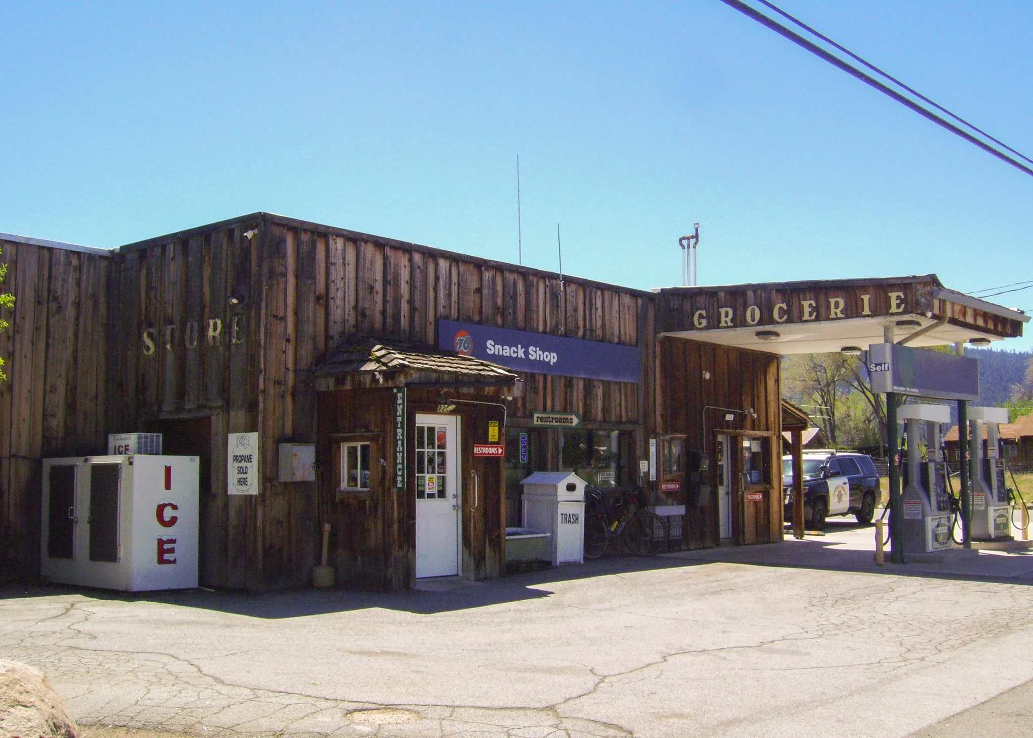
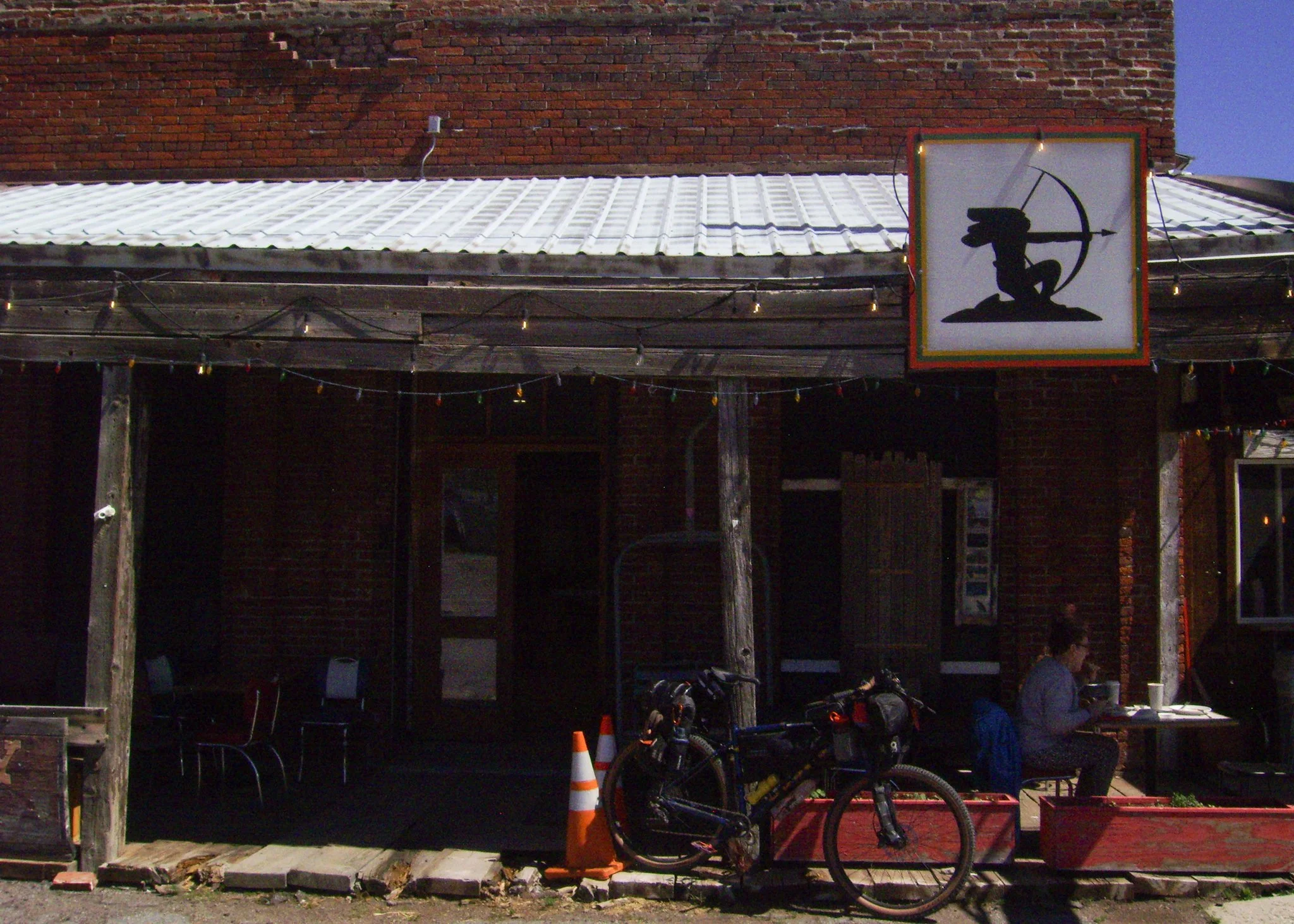
Day 2 started with a nice descent down the wrong road. A happy accident that led to a lovely little cafe, a neat gas station, and 30 miles of beautiful flat country as I passed through the Sierra Valley on my way to Antelope Lake. I primarily used a program called RideGPS to navigate a route I found on bikepacking.com. This program, RideGPS, is incredibly useful, and I would highly suggest using it to anyone interested in bike packing. Ride GPS shows useful landmarks along a route such as water sources, places to resupply, and lodging/campgrounds, all entered by other users. You’re also able to create your own routes, which is what I did when I finally reached Washington a few weeks later. In addition to RideGPS, I used Google Maps in moments where I made a route mistake, like on this day, or when I needed to find the nearest pizza establishment for calorie replenishment.
I brought two cameras with me on this trip: a small $5 digital camera (A Norcent DC-1020) I found at a thrift store several years previous, and my hefty Nikon d800 fitted with a crisp F/1.8d 50mm lens. One for quick shots, the other for detail and depth (provided I remembered to focus my lens).
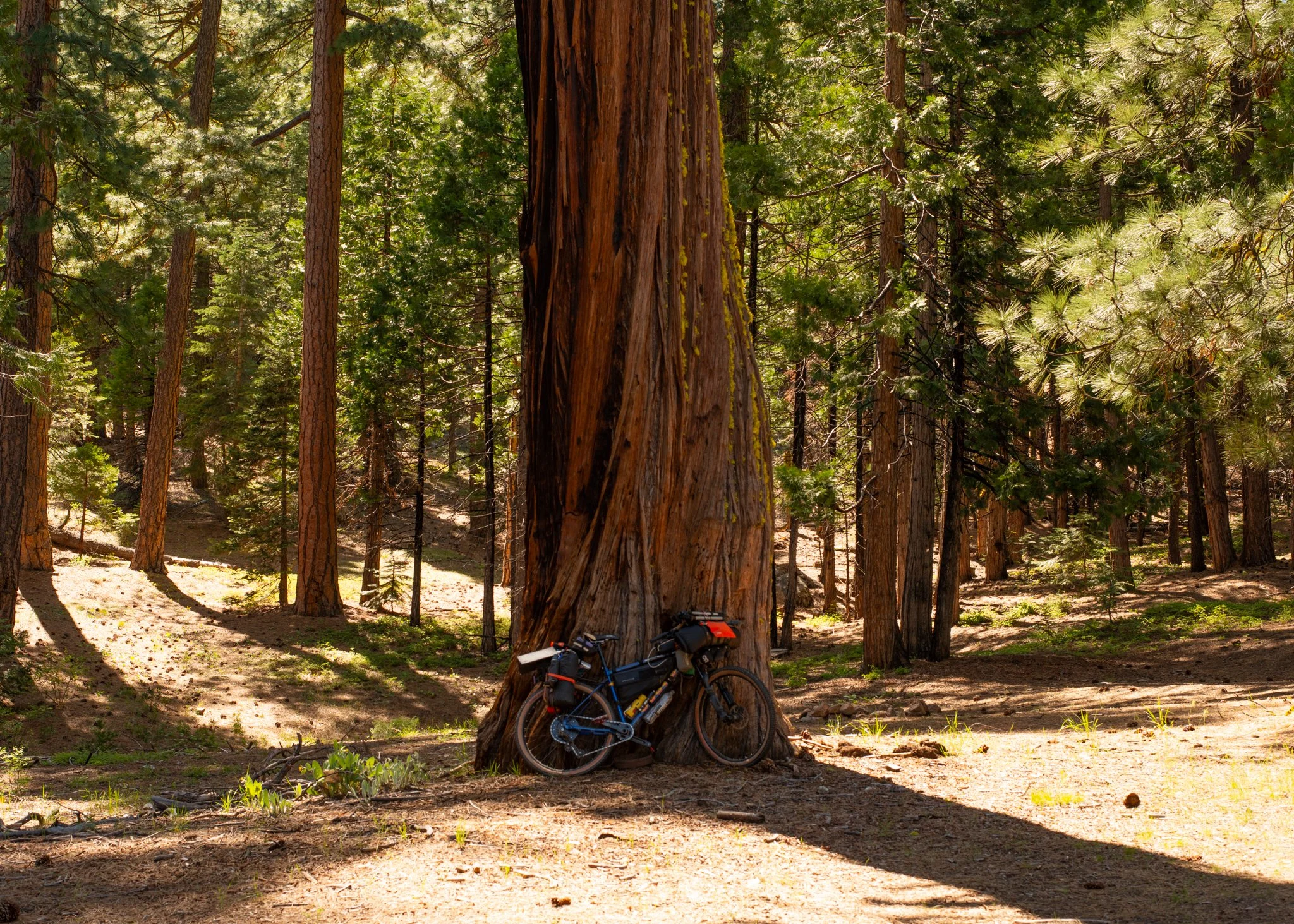
Above Susanville, my 2020 Marin Pine Mountain 1 outfitted with all I was living off of for a month.
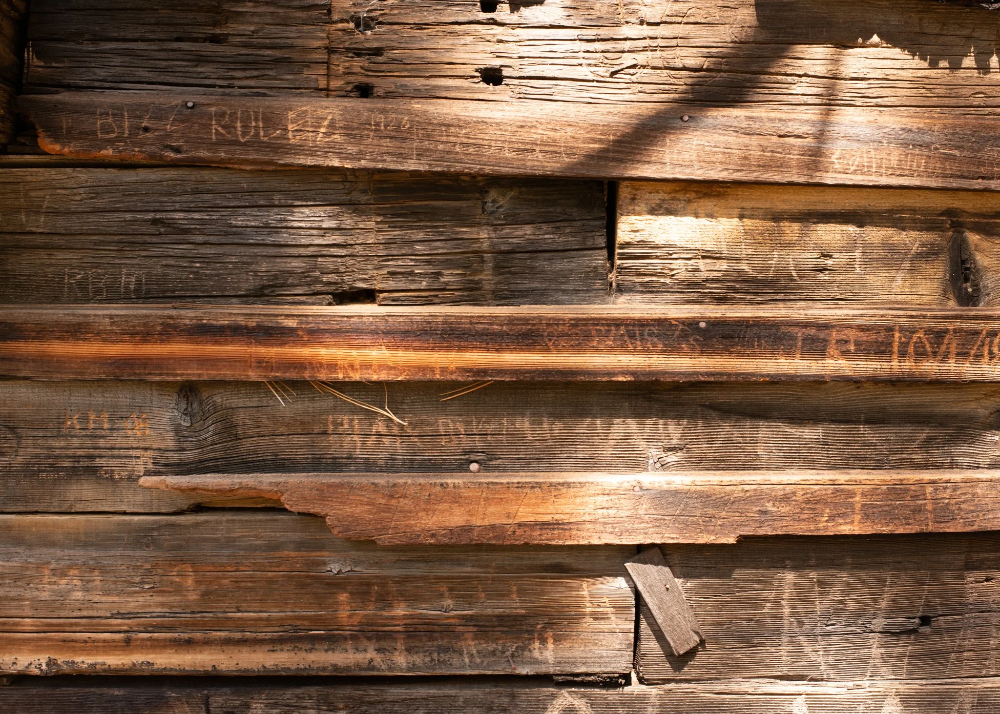
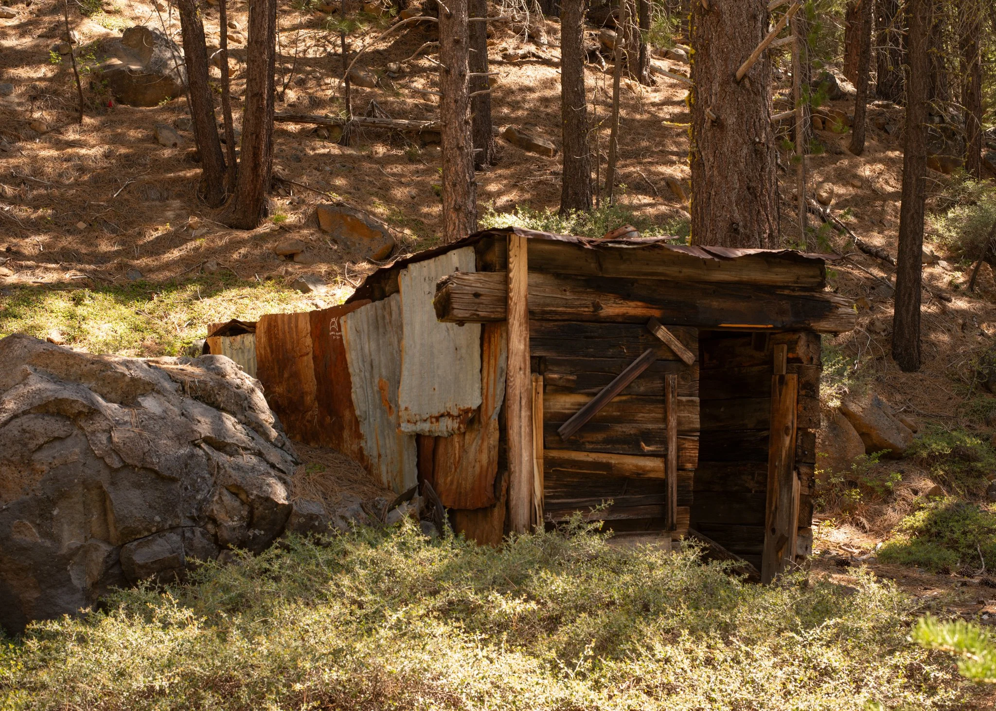
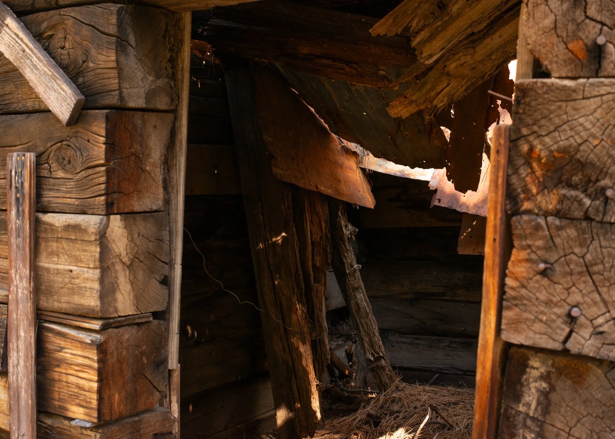
The next couple of days sped by. After [illegally] camping in a closed campground on the south end of Antelope Lake, my plan was to bike the 5-8 miles to the north end and spend the day recovering. After having put in 100+ miles and over 8,000 ft of elevation gain during the previous two days. My legs were quite unhappy with my sudden influx of exercise. I was in shape but not entirely prepared for the amount of milage I had in front of me. Unfortunately, the camp to the north was also closed, but this time occupied by workers clearing timber at risk of falling within the campground, so I decided to haul ass to Susanville, re-supply, and (happily) submit to a motel stay for the evening.
I didn’t want to spend too many nights in a motel during this trip, but I was also on vacation, and boy do I love a good motel/hotel stay; an evening separated from all the worries of the world, only needing to figure out what to eat, and the channel to put on the television. That said, I wanted to spend as much time camping as I could, but this was also my first big bike packing trip, so it took a bit of time to get comfortable with sleeping in odd places, and doing it solo nonetheless.
Regardless, the rest was well worth it. In reflection, that one motel stay paired with a pizza and many episodes of Friends, gave my legs the rest they needed. Without it, I’m not sure I would’ve made it much longer before what seemed like inevitable injury.
In the morning, I packed up my bike, explored town for a bit, and did a short 20-mile ride to a campground off a trail converted from an old railway called the Bizz Johnson. This led to a lovely conversation with some strangers over shared wine. From Truckee Lake, these two couples were on a weekend camping trip in their decked-out sprinter vans, and had seen two bike packers the night before in the spot I was occupying. The previous couple days and over the next week, id follow the tire tracks of these two bikers, consistently a day behind, never catching up.
A few cows and some scenery around McArthur California
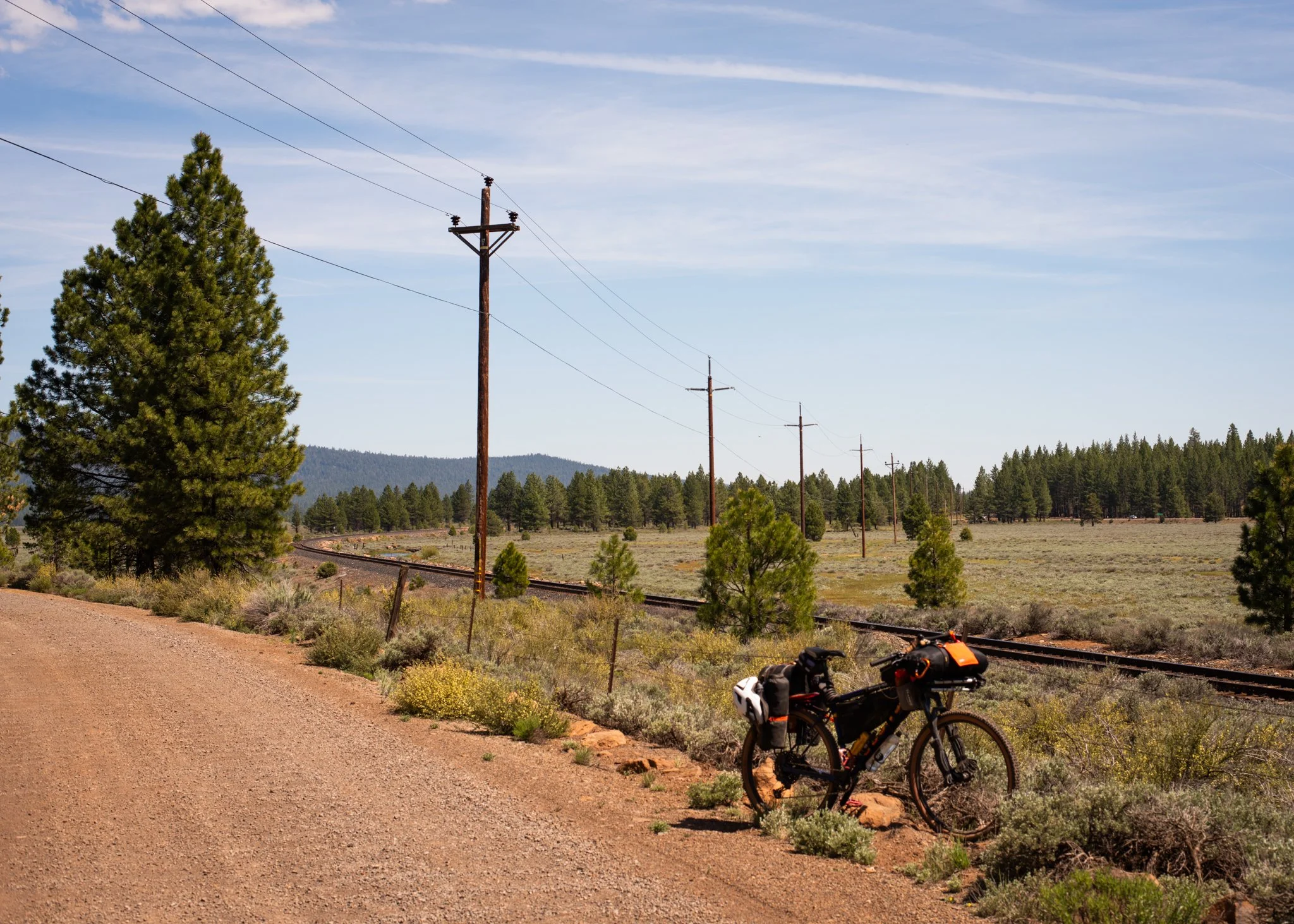
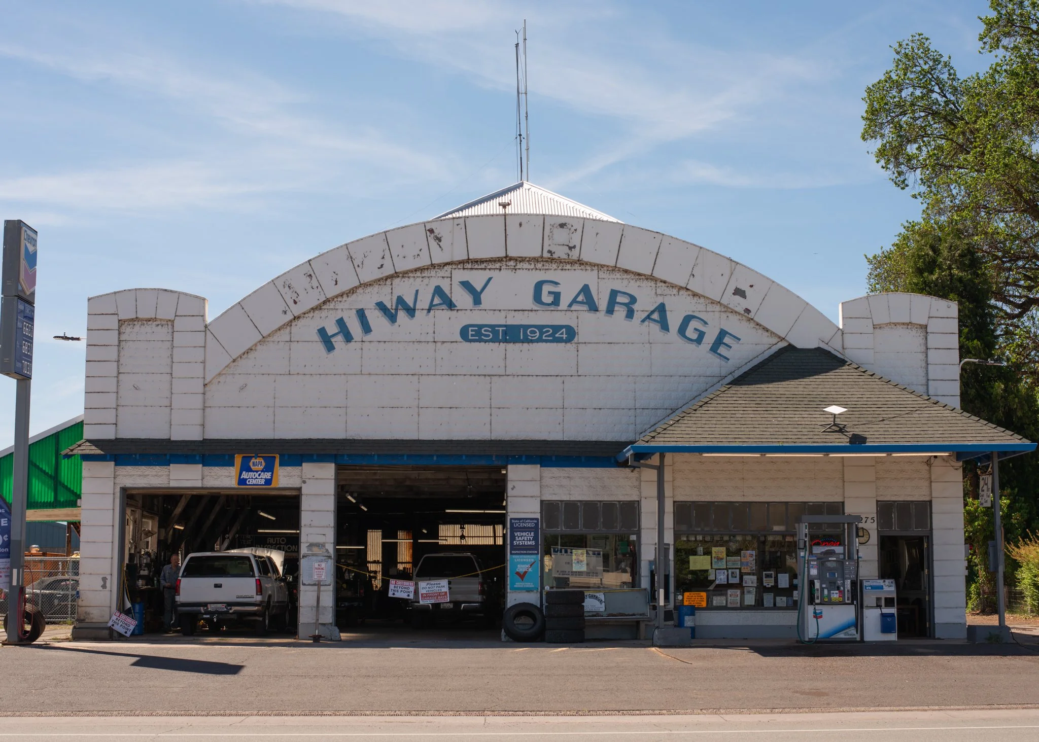
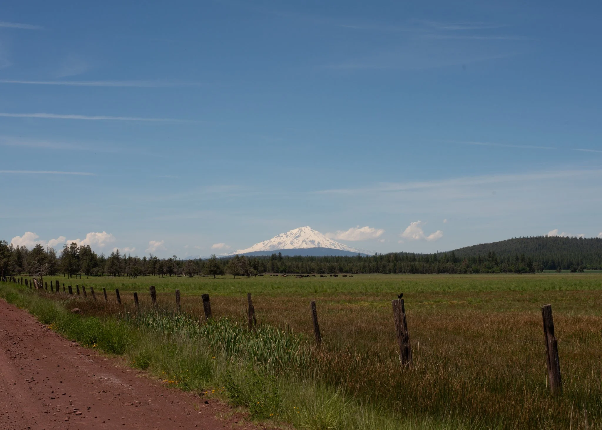
My next stop was Fall River Mills, CA. The ride into Fall River Mills and nearby McArthur, ended up being the longest day I experienced on this trip. Clocking at around 75 miles and 3000 ft of elevation gain from the camp I made the previous night, this day was full of dusty washboard gravel roads that seemed to never end, and when it did, I was more than beat. As I rode into Fall River Mills, a pizza place peaked my fancy, and boy was it wonderful. Uptown Pizza is the name of the establishment, and I’d go out of my way just to get a za from this restaurant again.
That evening also gave way to an unexpected Experience. These two small towns are surrounded by private land, so camping was limited to a campground 5 miles outside of town, an RV park, or the side of any one of the few highways crisscrossing throughout. I chose to trek to the campground which to my dismay involved a tough climb over a small mountain of sorts followed by a descent for what felt like 1000ft. The campground was closed, it was 9pm, and I was tired and too spooked to break this small law, yet again, for a spot to sleep. So, I lit a cigarette and started my climb back to town to try and find that RV park.
As I was making my way over the narrow pass I had navigated earlier, a State Trooper pulled over and asked if I knew where I was going, and if I would like any help. Having just rolled through my 75th mile of the day, and most likely done the majority of my elevation gain in the last couple hours, I accepted his help -I was exhausted.
This was one photo I regret not taking, my bike in the back of a decked-out state patrol Chevy Tahoe. This very nice gentleman was substituting for another trooper, and was working an area he usually doesn’t, so he was more than happy to go on a small side quest. We stuffed my bike in the back of his vehicle and started a 30-45 minute adventure trying to find a good spot for me to sleep. He told me about a big backpacking trip he turned down when he was younger that he ultimately regretted, and how he felt, in that moment, he was taking part in my adventure, which he most certainly was. Sharing some quality conversation, sitting in the passenger seat, and scanning the side of the road with his spotlight, we eventually found a group of trees some 40 feet off the side of a highway. Finally, at 11pm that evening, I set up my hammock and went to sleep, having experienced quite a neat and eventful day.
About 5 miles from Lava Beds National Monument, leaving Modoc National Forest
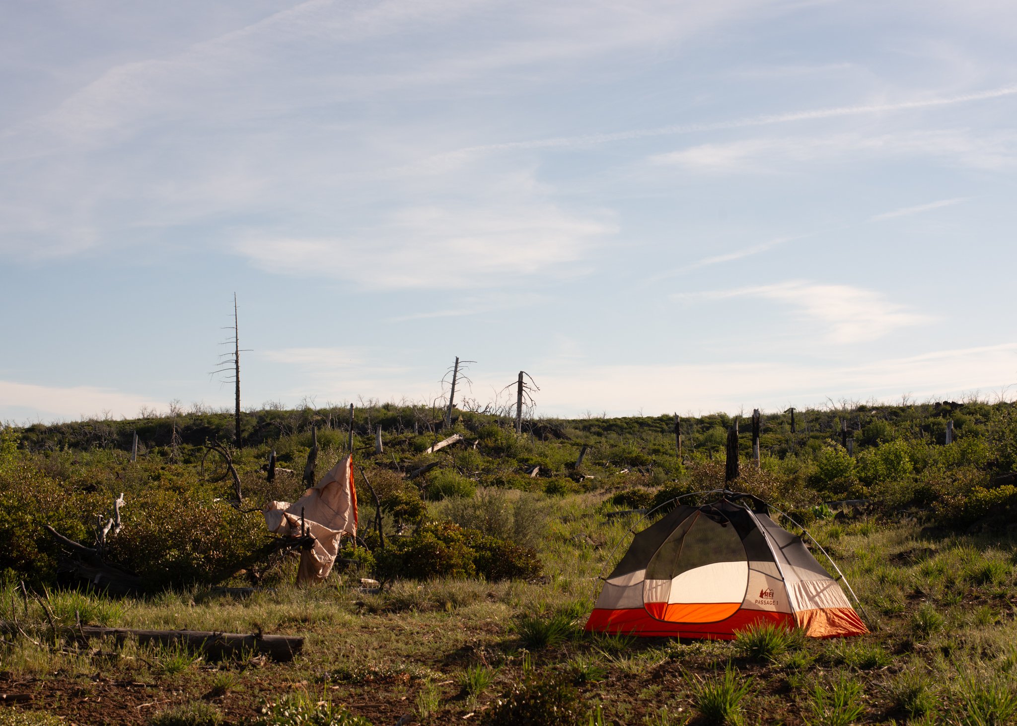
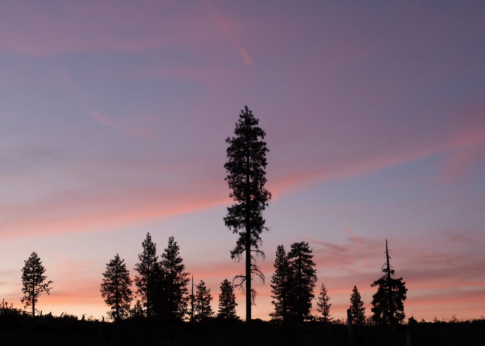
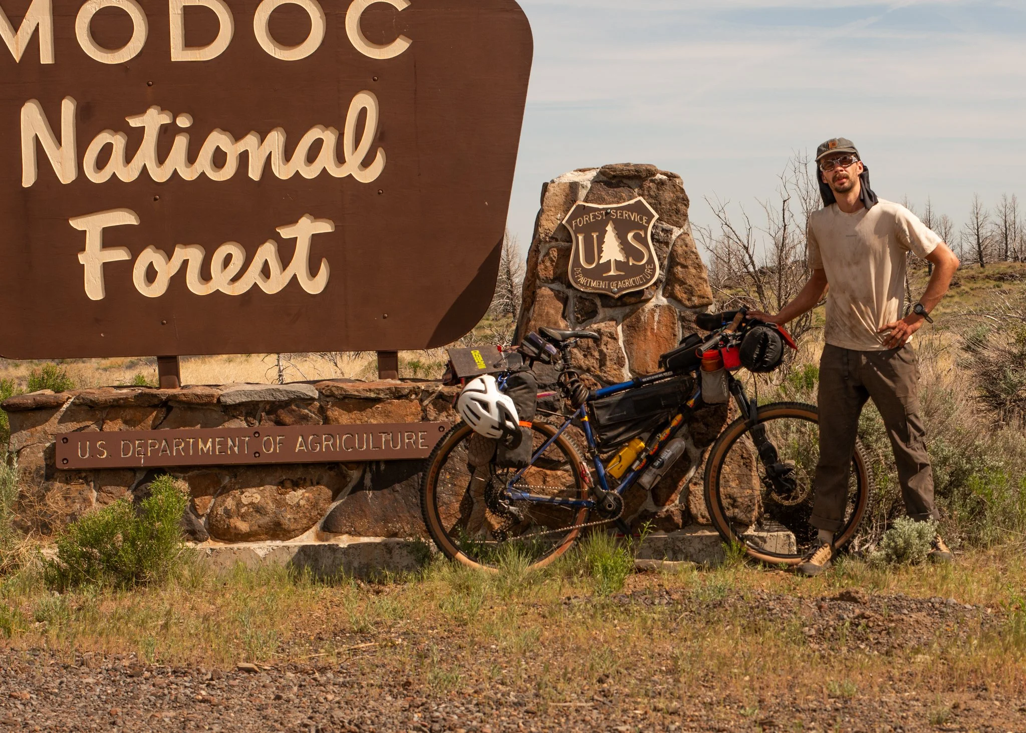
The next few days were challenging, so here’s some wisdom if you ever decide to go on a bikepacking adventure yourself: bring a lot of water, especially if you plan on biking through a desert, and be very conscious of where you can filter water along your route. After waking up the next morning and stopping back in town for a resupply, I began my day with roughly 40 miles planned. I wasn’t going to see a possible re-supply until the following evening, and though I had enough food, I found out I wasn’t going to have enough water or battery on my phone. 40 miles passed, camp was made, and I woke up the next day with 20% charge on my phone 1.5L of water, no-where to filter, a maze of sandy roads in front of me, and unfortunately, a mostly broken solar panel.
This was the second to last day on this leg of the trip and I was just short of 100 miles to Klamath Falls. 100 miles to a bed and a chance to shower. This day would be the toughest thus far, despite the 35 miles planned to reach Lava Beds National Monument -where I was to camp for the evening. I savored my water as best I could, taking sips as I went along. The real challenge was when my phone, i.e. my navigation died halfway through the day. My solar panel would only work if I warped and set it up just perfectly, and even then, it was a slow charge. Several times I sat on the side of a random gravel or sandy road, waiting for my phone to charge so that I could at least map the next few miles ahead of me. By the time I reached camp, I was severely dehydrated and exhausted. I inhaled nearly a liter of water and bought two sodas from a vending machine at the visitor’s center of this monument.
When you’re burning that many calories outside of near civilization a soda, chalk-full of sugar, sounds heavenly.
Just outside Lava Beds, this is on the west shore of Tule Lake
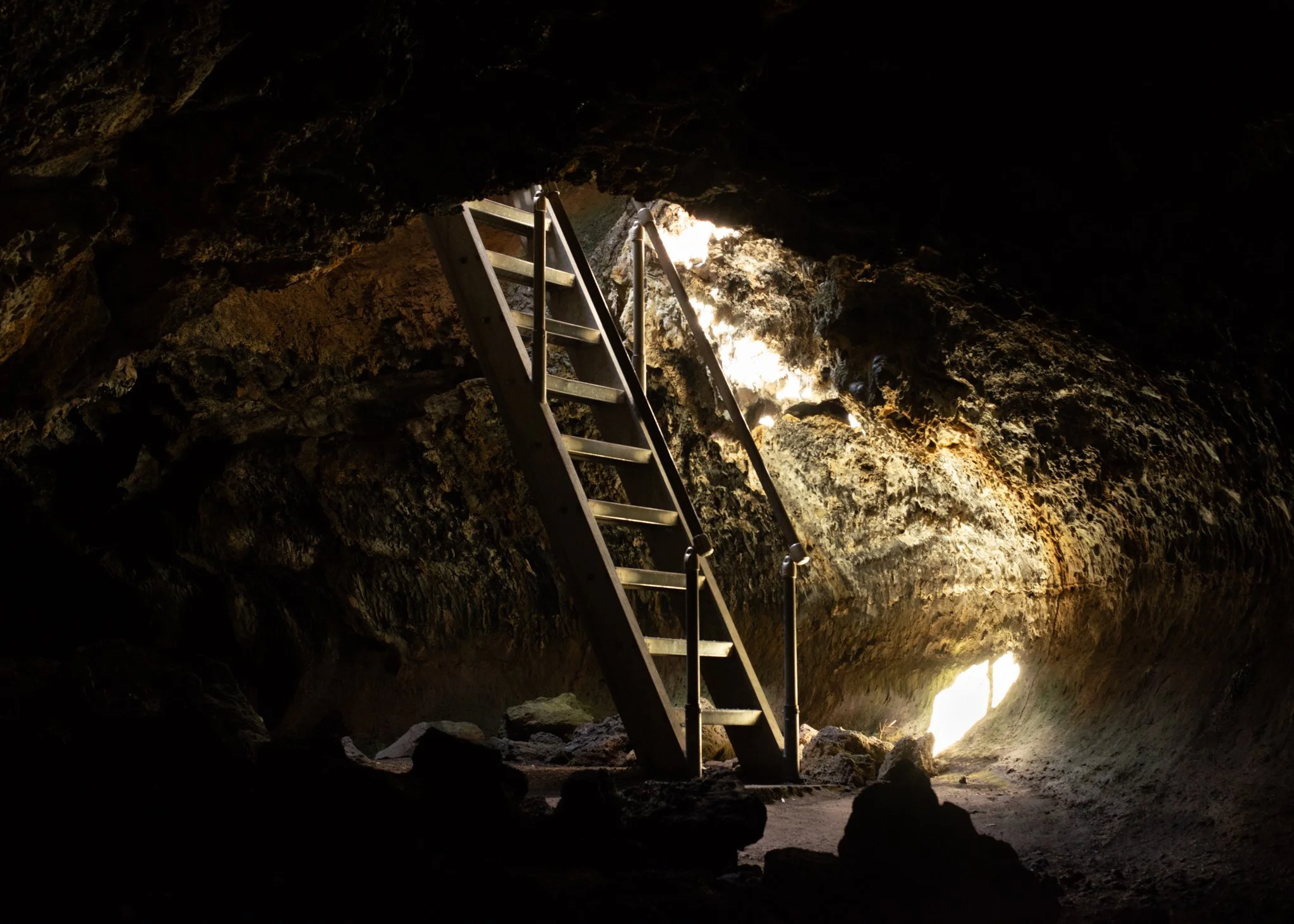
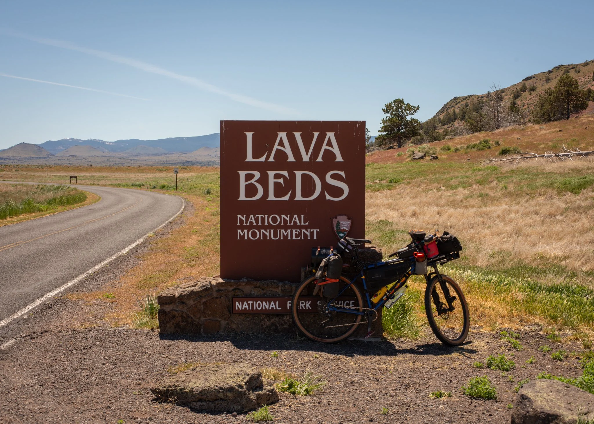
Lava Beds National Monument is a very lovely little attraction in the very norther portion of California. Developed in the second half on the 1930’s by the CCC (Civilian Conservation Corps), this park includes plenty of roads, walkways, and features built by the “CCC boys” some 80 years ago now. This area also holds many historical sites from The Modoc War, which took place during the winter of 1872-73; a conflict over land disputes, the Modoc people had been forcefully relocated to a reservation north of present day Klamath falls, and when they made the decision to return to their homeland against government wishes, a conflict inevitably ensued and unfortunately resulted in a handful of deaths from both the U.S. forces and the Modoc people. An interesting chapter in native-white settler conflict worth diving into, ill save the history for your own curiosity, or perhaps a later post.
Lava beds is worth a trip if you enjoy exploring caves, as that is the main attraction next to the grand sweeping landscapes you get to experience, and the historical history as well. Due to lack of time, I only explored a few caves, my favorite being the Golden Dome cave. If you’d like to see some clips from my experience there, feel free to check out my highlighted stories on my Instagram page; full of clips during my trip, including the aforementioned golden dome cave and many other wondeful moments from my time on the bike.
On my way to Lava Beds National Monument
The last day of my trip was fairly uneventful and smooth going. I biked just short of 50 miles, endured a bit under 1,500 feet of elevation gain, and was lucky to have smooth pavement the entire day. The only thing that went a bit wrong, was that during the previous day, I began to endure a condition commonly referred to as “cyclists palsy”. Cyclist or Handlebar palsy, is an overuse injury causing numbness, tingling, and/or weakness in the ring and pinky fingers, caused by excessive compression of the ulnar nerve in the wrist. This compression results from prolonged pressure to the wrist, assisted by road chatter through the bike, and can take up to two months to fully recover from. When it developed on my day of dehydration, I didn’t think much of it; relating it to falling asleep with my hand above my head. However, when I woke up the next day with two fingers still numb, I couldn’t help but feel a bit concerned. Though I had been able to charge my portable battery pack at the Monument, I didn’t have enough battery to do any research or diagnosis, so I decided to wait until my arrival in Klamath Falls to figure out what was happening.
A grainy photo from my $5 goodwill Norcent DC-1020 digital camera at Lava Beds National Monument
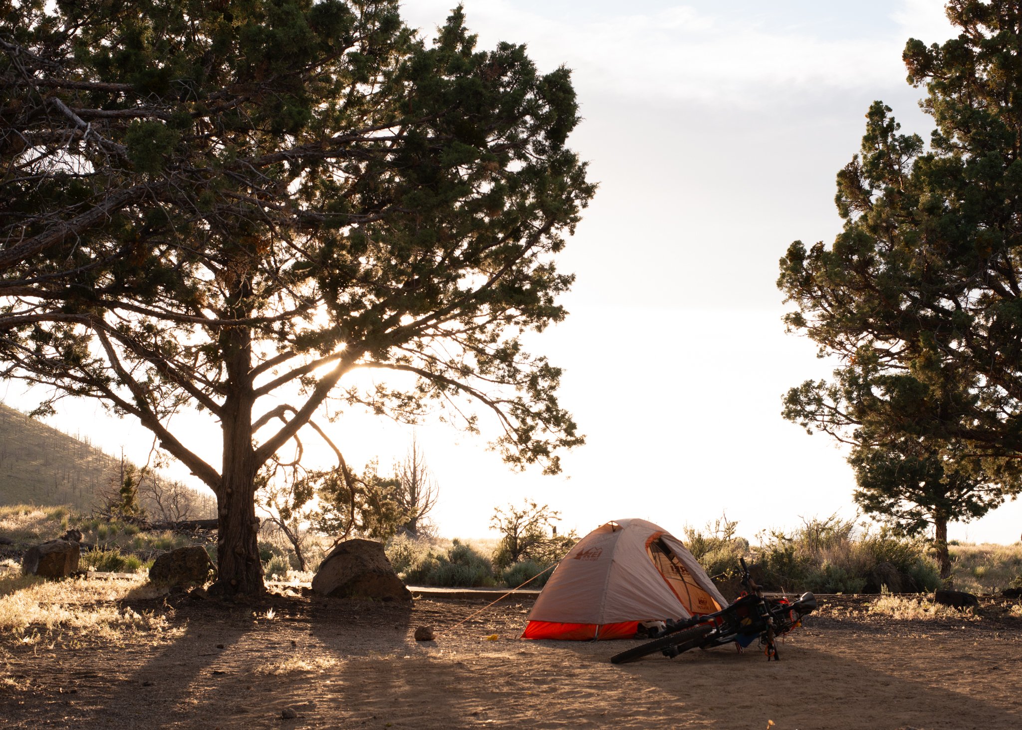
Overall, this leg of my trip was the most memorable. I had plenty of learning moments along the way, water capacity and battery usage being the two biggest, and it being the beginning of the trip lent to its memorable qualities. over the next few weeks, I began to fall into a rhythm, a new norm. Every evening had a process, a path to get to bed. relax for 10 minutes, unpack the tent, set it up, throw my sleeping stuff in there, make dinner, pack any odds and ends in my bike for the night, and set my bear spray and valuables in the tent with me. evenings were for silence, and reading.
In the next part of this series, I’ll not only detail the start of my trip through Oregon, but ill break down each aspect of my bike, and the things I decided to carry with me to make this trip possible. This very well may become a 4 part collection, as I had spent quite a bit of time in Oregon before my final leg through Washington.
Anyways, if you’ve found yourself here in this final paragraph, thank you for reading and looking through this website of mine :) I hope you found some enjoyment in these photos and the stories tied to them.
Until next time - Connell :)
